Leaving Uganda behind us, we crossed the border into Kenya, en route to one of the highlights of Gerrit’s and our trip: Lake Turkana, the Jade Sea.
Our first stop along 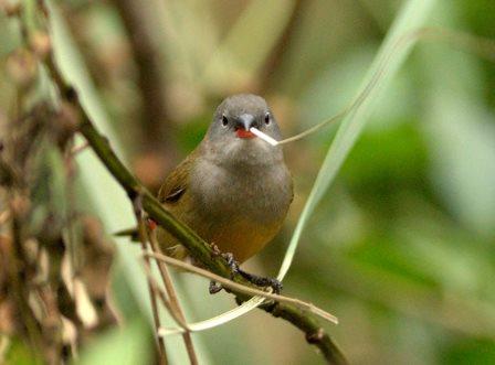 the way was at a wonderful place just outside Eldoret town, called Naiberi. Situated at almost 2000m, the altitude adds to the beautiful surroundings of riverine forest. We spent two nights here, enjoying the spectacular birding, the great food and the lush tranquility surrounding us.
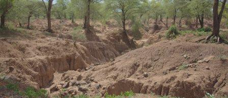
The next day we left the good roads far behind 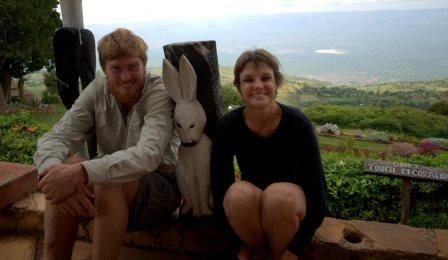 us and the further we traveled, the worse the corrugation and dust got. We did have a slight reprieve driving along the edge of the Kerio Rift Valley though. At the Kenyan athlete’s high altitude training centre, the (thankfully!) tarred road descended a thousand meters down the escarpment.
The slalom road with the hairpin bends and overfilled trucks and buses presented a new problem to us. Our brand new brake pads were overheating. Having stopped at a spectacular view point, we were quickly forced to jump back into our cars and keep going, as our smoking brakes could only be cooled with air flowing over them. We spent the rest of the drive down the escarpment trying not to use our brakes… Hair raising to say the least. Very relieved, we reached the dry scrubland and savannah of the Kerio Rift, before ascending out again on a thankfully less steep escarpment.
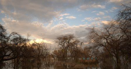
 Soon after we got our first sight of Lake Baringo and settled into a lovely lakeside campsite. For reasons unknown, the water level of the lake had risen so drastically, that the campsite ablution blocks were only accessible to the hippos and the crocodiles! While enjoying the view over the lake, we managed to get back into our bush rhythm and ended up watching both the sunset and the following morning’s sunrise.
  After chasing the
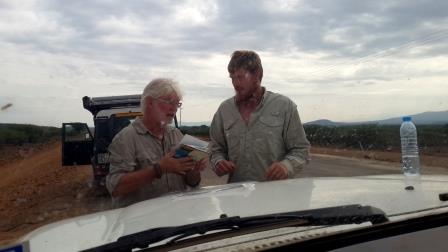 monkeys away from our breakfast we started off on the next leg of our trip. We were very happy when we found that they had tarred a section of road. We were cruising along at 80 km/h when Chris’ spider senses kicked in. We pulled over,
 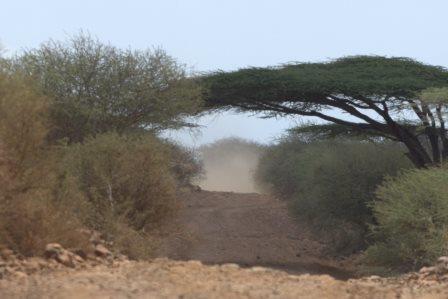 checked the GPS and the maps and sure enough, we were going in the wrong direction. This tar road was not for us. Terribly disappointed, we backtracked and discovered that the road to Maralal gave us more of the same. Dust and terrible corrugation.
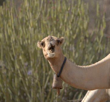
Slowly bumping along the road, we came across the first real evidence of coming close to northern Africa. Camels! Driving along the road where we would usually expect to see Zebra, there now appear Somali Ostriches and Camels. Very cool!
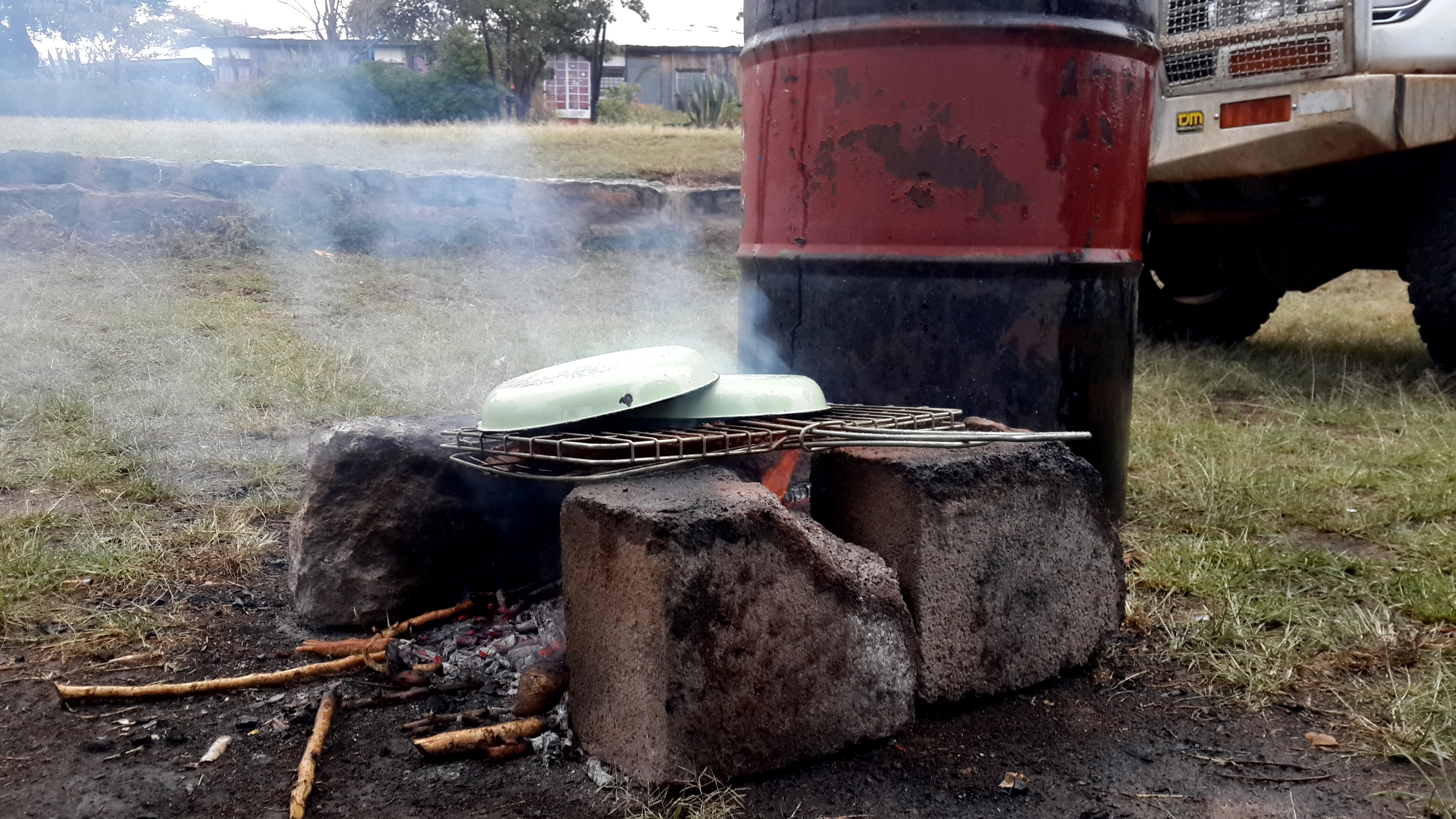
Maralal was our last reliable refueling opportunity before the remote loop of Lake 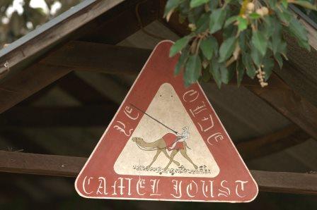 Turkana, so we made sure we got every last drop into all available tanks and containers. Filled to the brim, we camped at Yade Camel Camp, where the annual camel derby is held. We had prepared some T-Bone steaks for dinner, which turned out more interesting than expected, as a thunder shower overtook us. We found some interesting methods of preventing our very meager fire from going out and ruining our dinner!
Although we successfully rescued the steaks, they turned out to be extremely tough. Oh well!
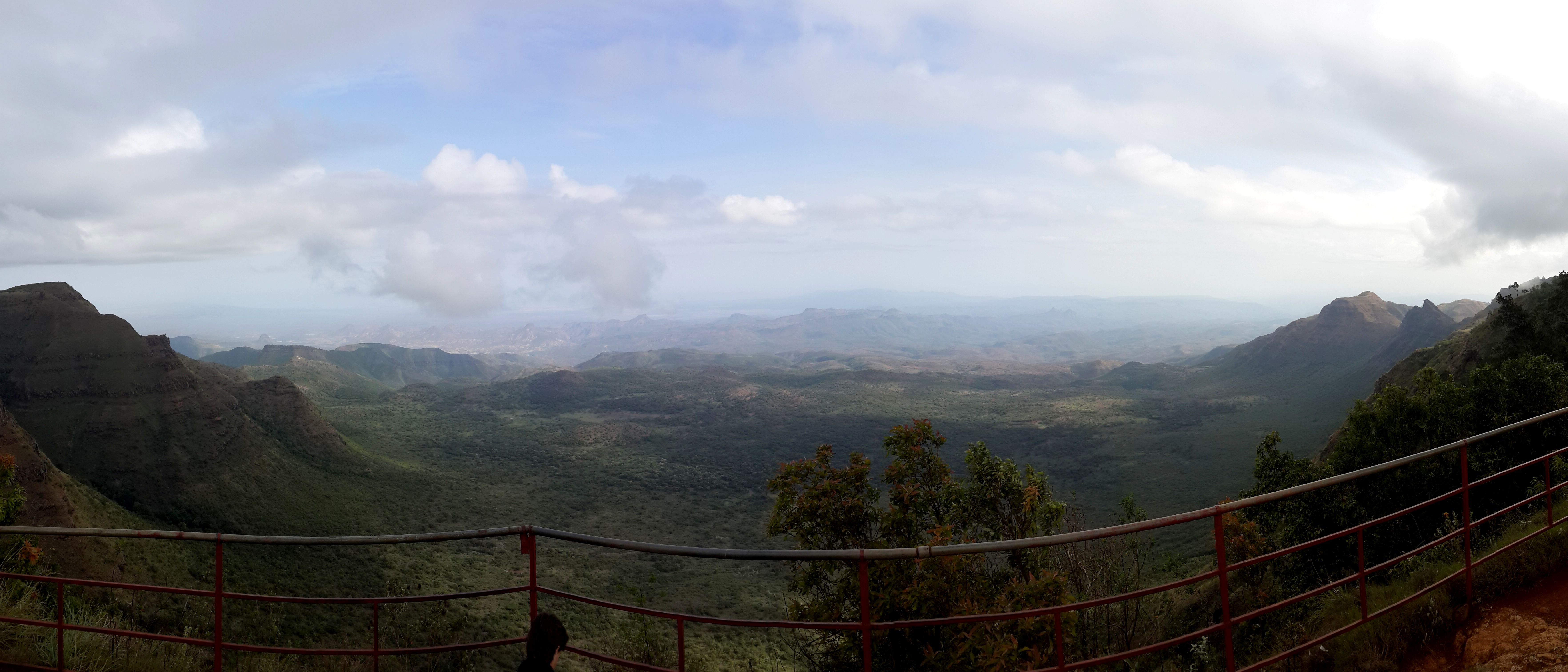
 The following morning was quite chilly and we quickly made ourselves some hot coffee before getting back onto the road. Gerrit had discovered our next stop; The End of the World. Although we had only found a single reference to this viewpoint, we were adamant to find it. After trusting in Gerrit’s GPS we drove down a lonely two track, with no signs or indications that we were heading in the right direction when we approached a rather intimidating archway in the middle of a field. Having passed through it, we really were presented with the World’s End. This is the single highest drop along the entire length of the Rift Valley. 2000 meters straight down. Wow!
Beyond this drop the foreboding and unknown area of Lake Turkana began.



Beobachten eure Reise mit großem Interesse – sind wirklich tolle Aufnahmen dabei – weiterhin schönen Urlaub! – lg aus Österreich!